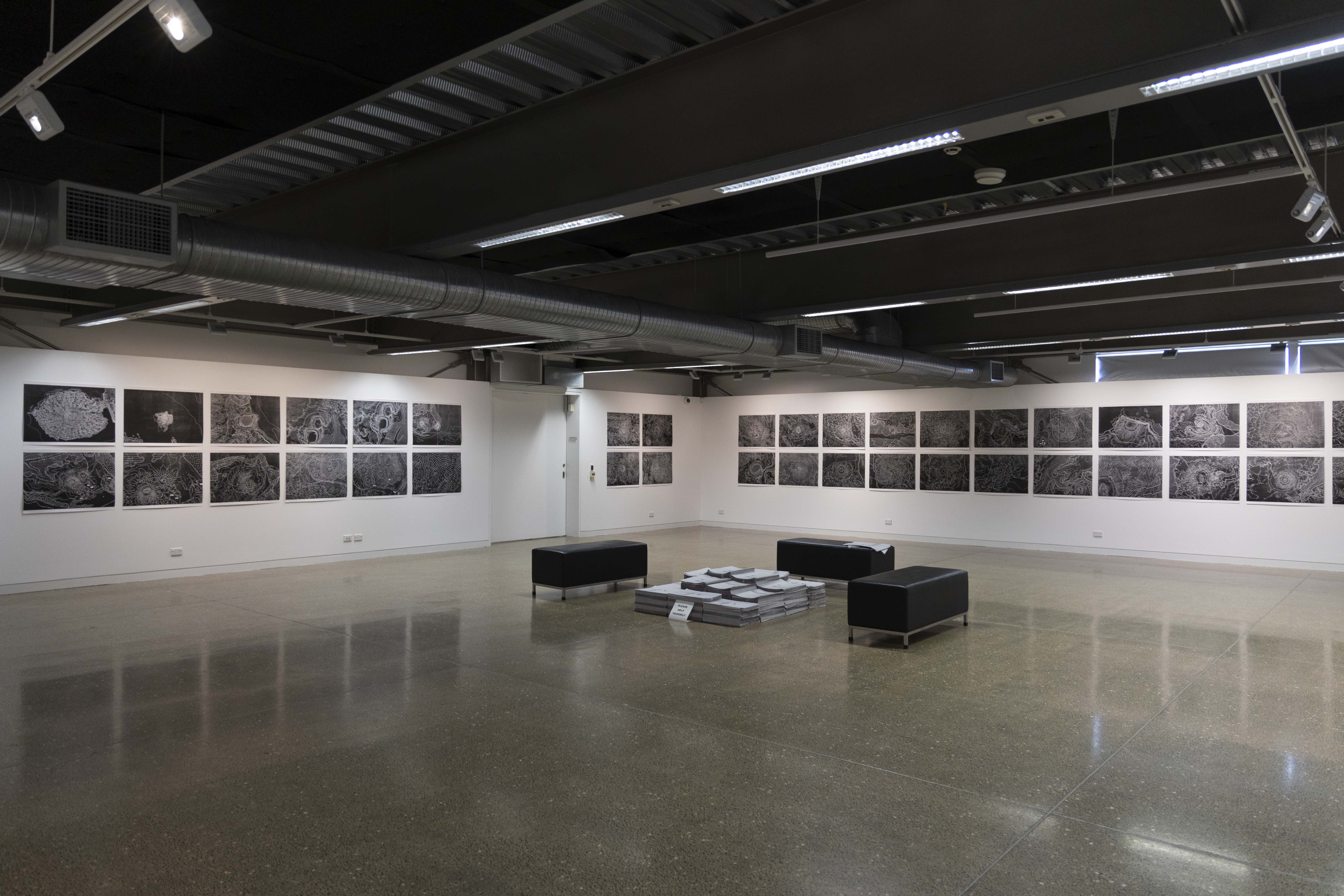
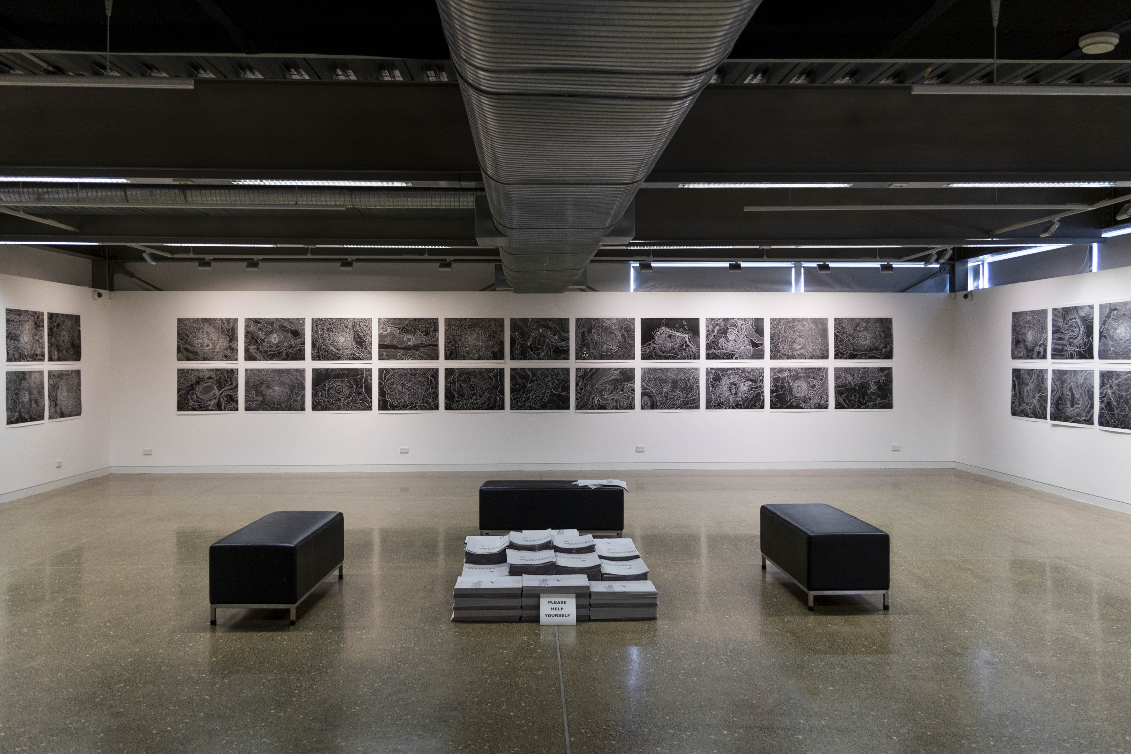
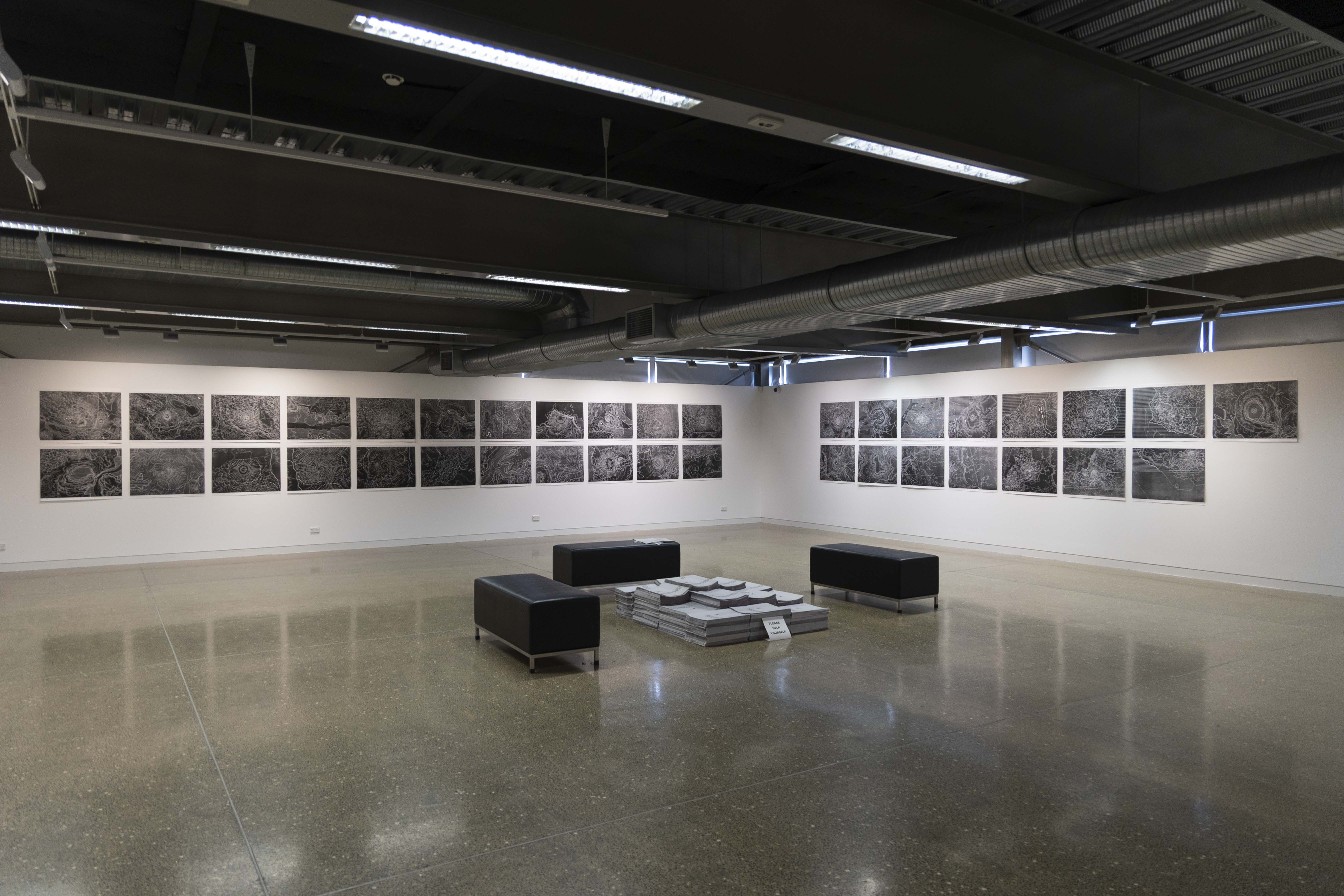
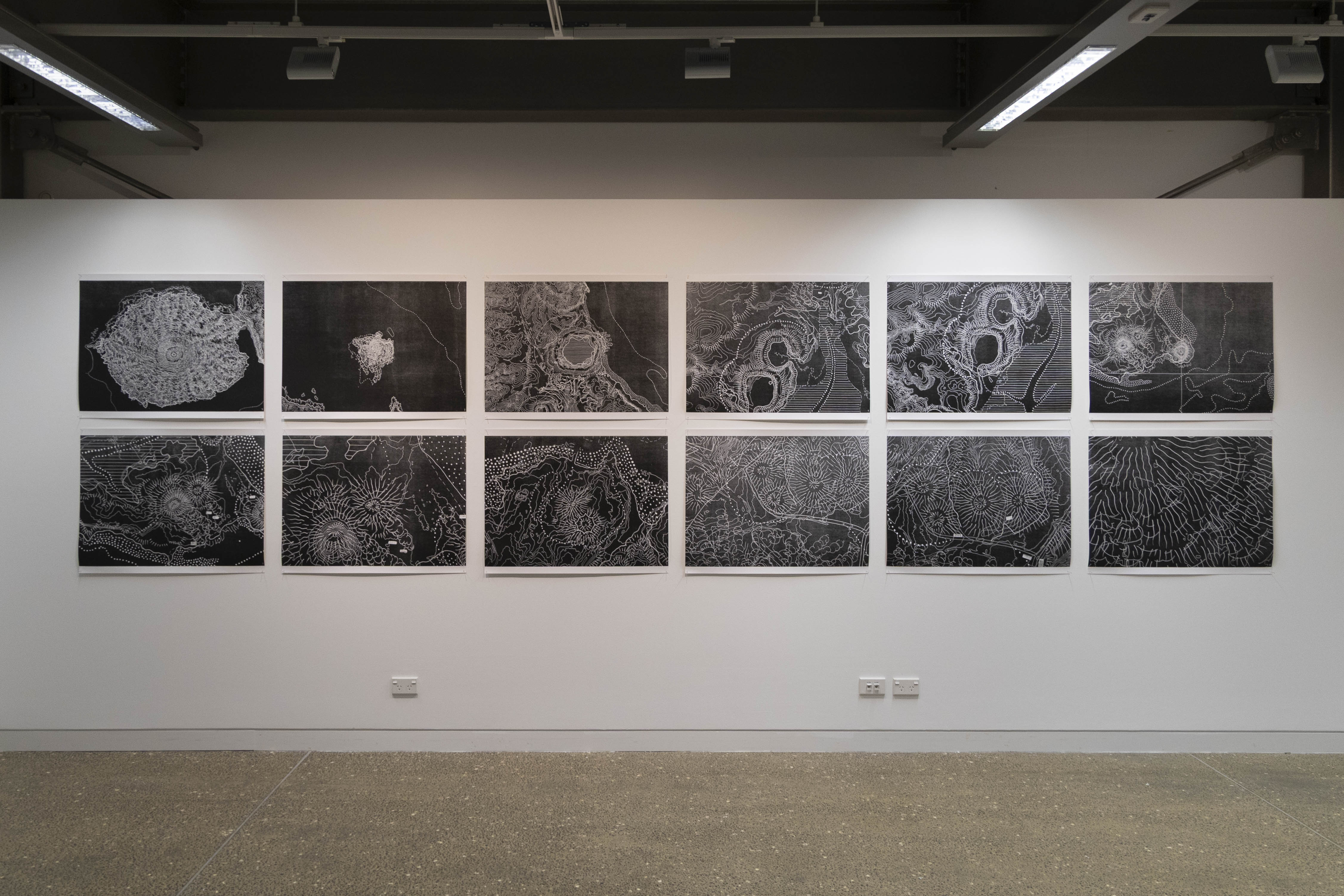
Volcanic Field/Work (Exhibition)
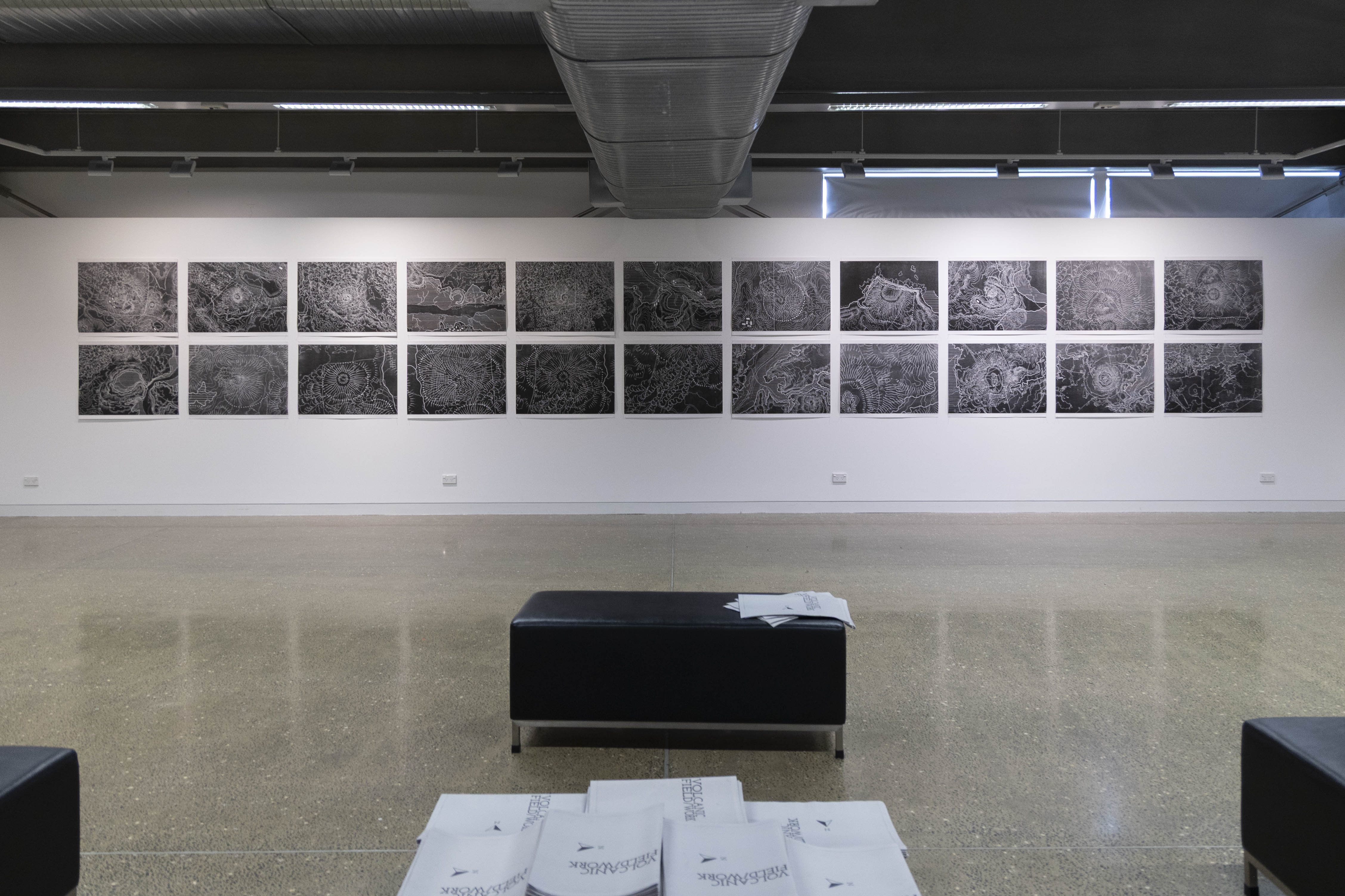
Volcanic Field Work traces the shifting geology of Tāmaki Makaurau through the meeting of past and present maps, aligning contemporary topographic contour data with an 1859 volcanic survey, and revealing how the volcanic features and the visual language used to describe them have changed across more than a century and a half. Through this layering, the works visualise eruptions, erasures, and the slow reshaping of the land we inhabit.
Here drawing is used as a tool to translate information into visual form, allowing room for ambiguity to emerge. In these maps, the spaces between the lines are revealed, the shifts between a then and a now become visible, inviting viewers to consider whenua as both a physical terrain and a living archive of memory and change. The works prompt reflection on how we read the city, how we mark time, and how the landscape continues to define our collective sense of place.
Volcanic Field/Work (Publication)
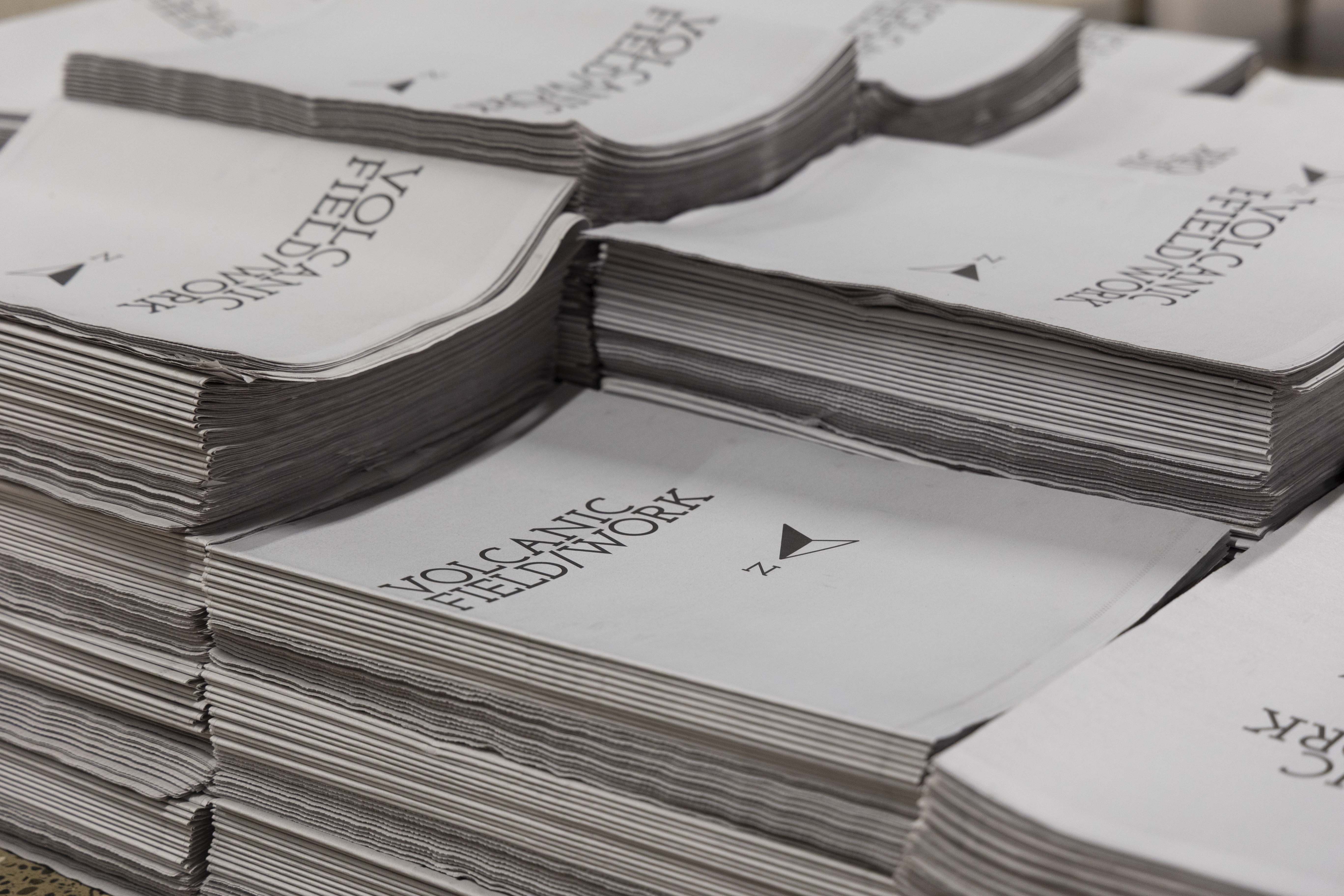
Publication to accompany the Volcanic Field/Work exhibition. Text by Dr Glen Snow, Map photography by Anton Maurer, Cover design by Rob Mills
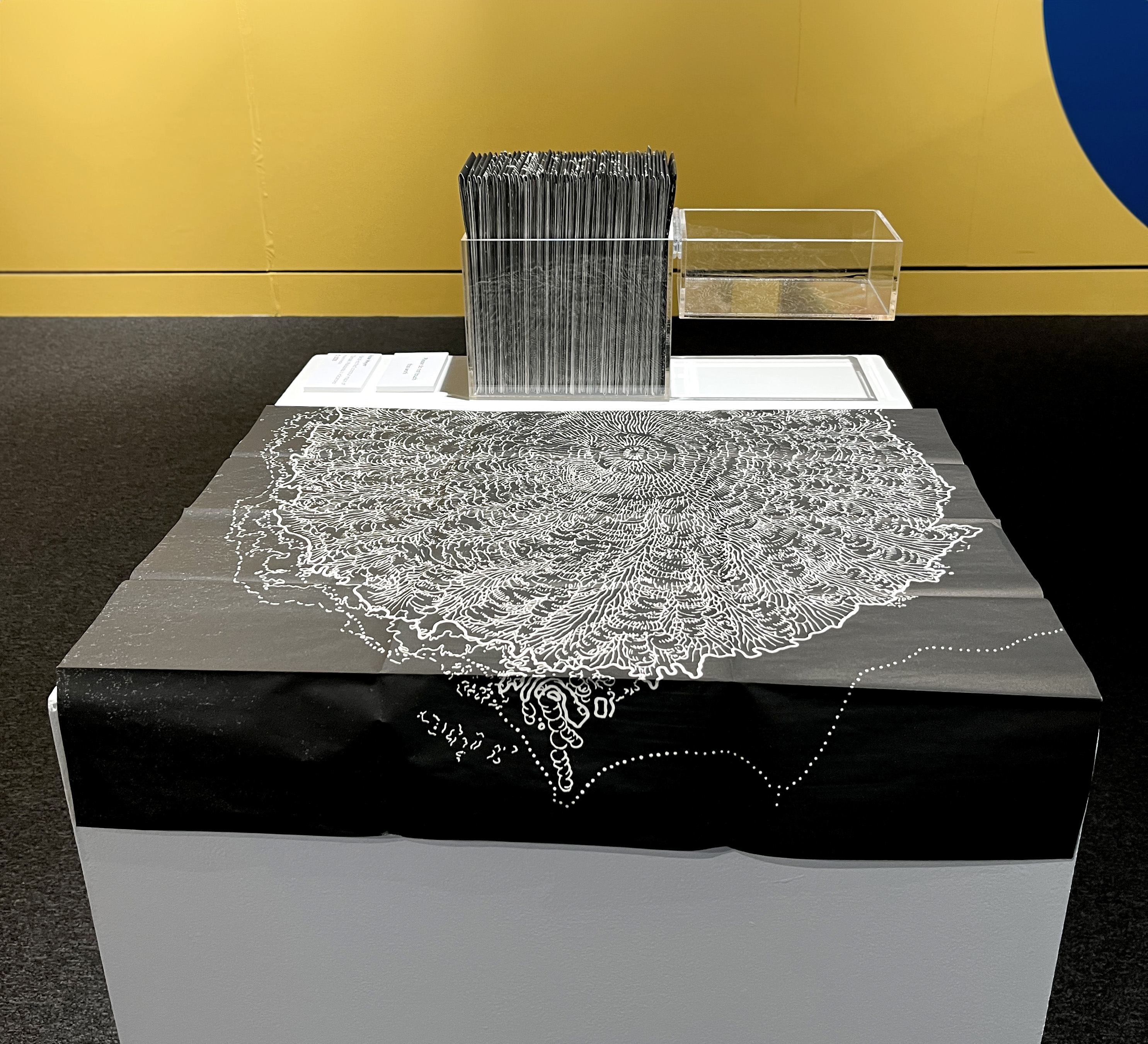
Boxed Set
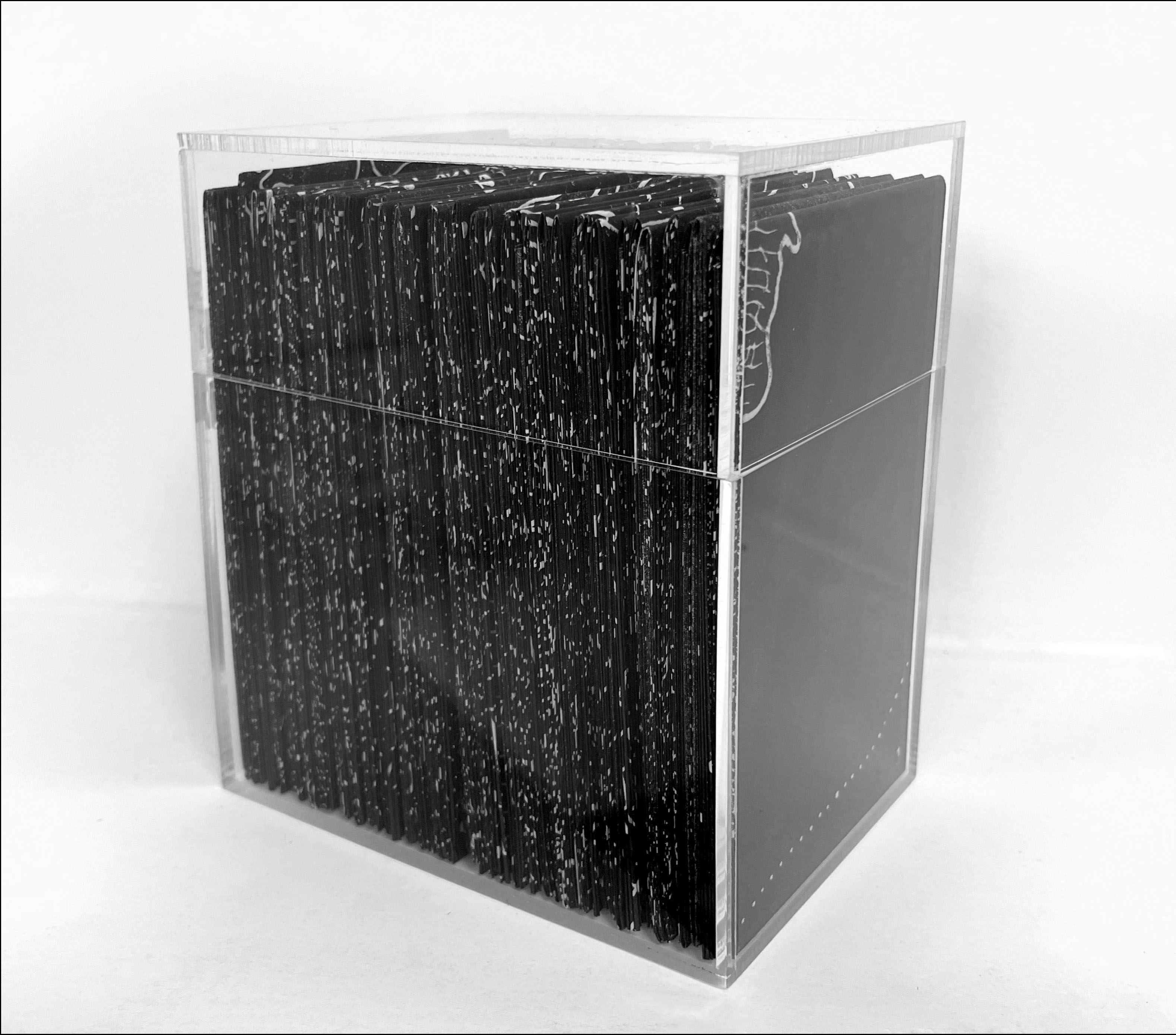
A merging of 160 years of landscape history and the mapping methodologies used to depict three-dimensional surfaces.
Whenua in this format becomes condensed, solidified into a collectable form – a catalogue of land and its histories. Yet in this format, the reading of them becomes more difficult: a fiddly undertaking of extricating a singular delicate paper map from a dense set of similar others. The maps themselves when unfolded give little further context aside from a number referring to an index card unhelpfully situated beneath them.